NYC_Precision3D.jpg

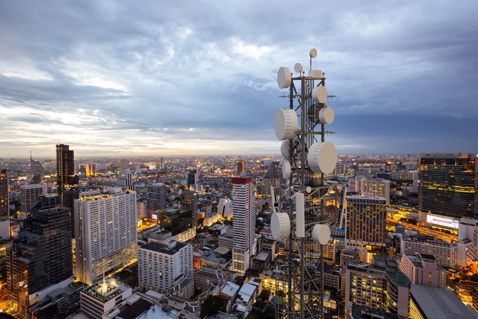
New technologies require precise solutions

Networks are only as reliable as the data used to plan them. The networks of tomorrow will rely on a signal so sensitive it can be blocked by the palm of your hand, making network planning even more complicated.

Our Advantage

Intelligent connectivity for global transformation

Wireless network planning

Vantor is the trusted geospatial partner for many of the world’s leading telecommunications companies. We provide the customized data, analysis and expertise needed to create accurate location intelligence.

Currency for network capacity and coverage

Streamline your workflow and improve propagation models with fresh satellite imagery-derived geodata. As the imagery source, we can access and process content faster—helping you get the derived data layers you need sooner.

Flexibility for IoT solutions

Leverage our robust analytics platform to identify features, extract information and build your own unique data solutions. We can help you integrate IoT sensor data and networks to power technology that brings location intelligence to end users.

Barcelona_3ddata_web.jpg

Reliable Geodata

Vantor owns and operates the most sophisticated commercial imaging satellite constellation in orbit, collecting and quickly delivering premium-quality imagery and 3D geodata with consistent quality and accuracy at regional, national, or global scale.