Don't depend on GPS for mission success

Autonomous operations face GPS disruption from jamming or urban canyons on a daily basis. Raptor™ is a powerful, vision-based software suite that uses a drone’s native camera and Vantor 3D terrain data to eliminate GPS dependence.

Download Datasheet

The Raptor™ advantage

Extreme accuracy in GPS-denied areas, even at night

When operating autonomously, accuracy is everything. Raptor products have demonstrated absolute accuracy of <7 m in all dimensions for determining aerial position and absolute accuracy of within 3 m for ground coordinate extraction. The products work at night and at low altitudes.

Connect your sensors to the same spatial source of truth

Raptor provides a shared spatial source of truth that can connect sensor feeds across your entire ecosystem in real-time. These products all draw from Vantor’s 100 million-plus sq km of highly accurate 3D terrain data, which is regularly updated to provide a reliable view of the physical terrain.

Power-efficient, easy-to-integrate software

Unleashing autonomy at scale requires flexible software solutions that can operate on any platform. Raptor software products are all platform-agnostic, offering ultimate deployment flexibility. They use the drone’s existing camera, are easy to bring online, and are deployable on low-power commodity hardware.

The Raptor product suite

Raptor Guide - webpage.png
Sync.png
Ace.png
Guide

Navigate with certainty

Vision-based positioning software that’s loaded directly onto the drone, enabling the platform to determine its aerial position with a demonstrated absolute accuracy of <7 m in all dimensions. The software works with commodity on-board camera systems, using the camera's live video feed, Vantor's 3 m-accurate Vivid Terrain data, and proprietary algorithms determine the drone's position.

Sync

Unify your view

Software that georegisters the full-motion video feed from the drone’s on-board camera with Vantor's 3D terrain data in real-time, enabling intelligence fusion and multi-domain interoperability across different sensors as well as accurate coordinate extraction at a demonstrated absolute accuracy of <3 m.

Ace

Operate with accuracy

Raptor Ace is a software solution installed on commodity laptop equipment that works alongside drone controllers, enabling operators to extract real-time target ground coordinates from full-motion aerial video feeds with a demonstrated absolute accuracy of <3 m.

How It Works

Resilience for every mission

raptor-diagram-dark-vantor.svg
Use Cases

From the battlefield to the connected city

Surveillance_Recon_Mission.png
Package_Delivery_Mission.png
Search_Rescue_Mission.png

Joint multi-domain operations

Surveillance_Recon_Mission.png

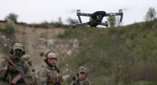
Raptor can help realize the vision of a digital battlefield, ensuring autonomous systems work in unison to deliver on surveillance, reconnaissance, and tactical operations. No GPS needed.

Large-scale autonomous delivery systems

Package_Delivery_Mission.png

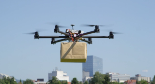
Commercial logistics companies are building large-scaled autonomous delivery systems. With Raptor, urban canyons are no longer a barrier to reliability, and drones can drop off packages with precision at scale.

Search and rescue

Search_Rescue_Mission.png

Raptor can help first responders deliver aid drops with precision to even the smallest landing zone. No matter where, no matter the situation.

Frame 26087487.png

Request a Raptor demo

Interested in integrating Raptor with your autonomous platforms? Connect with a Vantor sales representative to build a customized package.

Get in Touch